https://mrrathwellgeo.weebly.com/unit-one---geographic-skills.html
aImages that you see on page 19 of your textbook are the types of tools that geographers use. GPS, topographic maps, graphs are only a few examples but they are essential in helping geographers collect information.
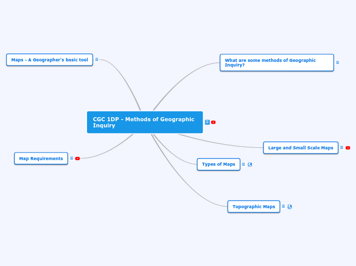
The Scale of a map shows the relationship between the size of an object (e.g., a lake or a section of a highway) in real life and its size as drawn on the map. 1:50 000 can mean that 1 cm on the map represents 50 000 cm (or 500 m) on the Earth's surfaceSmall scale maps show small detail in a large areaLarge Scale maps show large detail in a small area.
There are many types of maps - some examples are political, navigational, topographic, vegetation and weather maps. As a class we will see most of these maps in the course. Look in the textbook and write down the page number for each of the following map types:TopographicVegetationWeatherClimate Region
Use Fig 2-5 and 2-6 in our textbooks on page 24 and 25 to help us answer question #8 on page 29.
What is a map? A map is a representation of Earth's features drawn of a flat surface. Unlike photographs, maps cannot show you what the land actually looks like. Instead, maps use symbols and colours to represent the features of an area. For example, streets may be shown as red lines and airports often are shown with a drawing of an airplane.
Whenever you draw a map, certain features should always be included. TitleLegend ScaleDate of Publication DirectionBorder