physical geography
scale
In geography, scale refers to the ratio between a distance on a map and the corresponding distance on the Earth's surface. It helps to understand the relationship between the representation on the map and the actual size of the area it represents. Maps can have different scales, such as large scale (providing detailed information over a small area, like a city map) and small scale (showing a larger area with less detail, like a world map). Choosing the appropriate scale is crucial for accurate representation and interpretation of geographic information and spatial relationships.
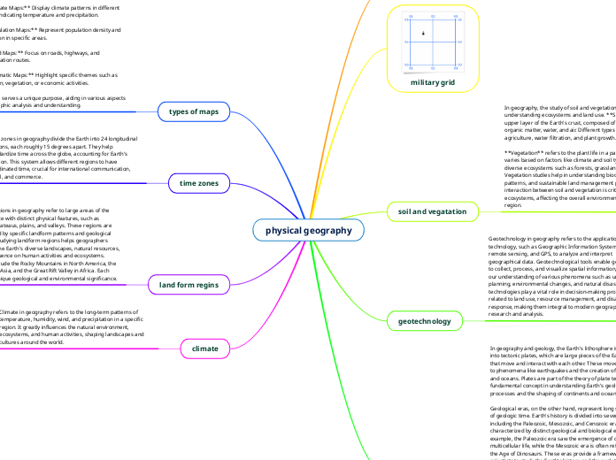
military grid
soil and vegatation
In geography, the study of soil and vegetation is essential for understanding ecosystems and land use. **Soil** refers to the upper layer of the Earth's crust, composed of mineral particles, organic matter, water, and air. Different types of soil affect agriculture, water filtration, and plant growth.
**Vegetation** refers to the plant life in a particular region. It varies based on factors like climate and soil type, leading to diverse ecosystems such as forests, grasslands, and deserts. Vegetation studies help in understanding biodiversity, climate patterns, and sustainable land management practices. The interaction between soil and vegetation is critical for ecosystems, affecting the overall environmental health of a region.
geotechnology
Geotechnology in geography refers to the application of technology, such as Geographic Information Systems (GIS), remote sensing, and GPS, to analyze and interpret geographical data. Geotechnological tools enable geographers to collect, process, and visualize spatial information, enhancing our understanding of various phenomena such as urban planning, environmental changes, and natural disasters. These technologies play a vital role in decision-making processes related to land use, resource management, and disaster response, making them integral to modern geographic research and analysis.
plates and eras
In geography and geology, the Earth's lithosphere is divided into tectonic plates, which are large pieces of the Earth's crust that move and interact with each other. These movements lead to phenomena like earthquakes and the creation of mountains and oceans. Plates are part of the theory of plate tectonics, a fundamental concept in understanding Earth's geological processes and the shaping of continents and oceans.
Geological eras, on the other hand, represent long segments of geologic time. Earth's history is divided into several eras, including the Paleozoic, Mesozoic, and Cenozoic eras, each characterized by distinct geological and biological events. For example, the Paleozoic era saw the emergence of complex multicellular life, while the Mesozoic era is often referred to as the Age of Dinosaurs. These eras provide a framework for scientists to study the Earth's history and the evolution of life on our planet.
types of maps
In geography, there are various types of maps used for different purposes. Some common types include:
1. **Political Maps:** Show borders and boundaries of countries, states, and cities.
2. **Physical Maps:** Depict geographical features like mountains, rivers, and deserts.
3. **Topographic Maps:** Provide detailed information about terrain, including elevation and landforms.
4. **Climate Maps:** Display climate patterns in different regions, indicating temperature and precipitation.
5. **Population Maps:** Represent population density and distribution in specific areas.
6. **Road Maps:** Focus on roads, highways, and transportation routes.
7. **Thematic Maps:** Highlight specific themes such as population, vegetation, or economic activities.
Each type serves a unique purpose, aiding in various aspects of geographic analysis and understanding.
time zones
Time zones in geography divide the Earth into 24 longitudinal sections, each roughly 15 degrees apart. They help standardize time across the globe, accounting for Earth's rotation. This system allows different regions to have coordinated time, crucial for international communication, travel, and commerce.
land form regins
Landform regions in geography refer to large areas of the Earth's surface with distinct physical features, such as mountains, plateaus, plains, and valleys. These regions are characterized by specific landform patterns and geological processes. Studying landform regions helps geographers understand the Earth's diverse landscapes, natural resources, and their influence on human activities and ecosystems. Examples include the Rocky Mountains in North America, the Himalayas in Asia, and the Great Rift Valley in Africa. Each region has unique geological and environmental significance.
climate
Climate in geography refers to the long-term patterns of temperature, humidity, wind, and precipitation in a specific region. It greatly influences the natural environment, ecosystems, and human activities, shaping landscapes and cultures around the world.