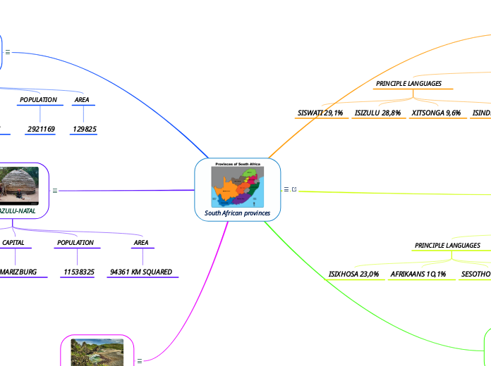
South African provinces
South Africa has nine provinces, which vary considerably in size. The smallest is tiny and crowded Gauteng, a highly urbanised region, and the largest the vast, arid and empty Northern Cape, which takes up almost a third of South Africa’s total land area.Each province has its own Legislature, Premier and Executive Council. The country has common boundaries with Namibia, Botswana and Zimbabwe, while Mozambique and Eswatini lie to the north-east.
aMPUMALANGA
Mpumalanga(link is external) means Place where the sun rises. Owing to its spectacular scenic beauty and abundance of wildlife, the province is one of South Africa’s major tourist destinations. Mpumalanga falls mainly within the Grassland Biome. The escarpment and the Lowveld form a transitional zone between this grassland area and the Savanna Biome.The area has a network of excellent roads and railway connections, making it highly accessible. Mpumalanga is also served by a number of small airports, such as the Kruger Mpumalanga International Airport(link is external). Mbombela is the capital of the province and the administrative and business centre of the Lowveld. Other important towns are eMalahleni, Standerton, Piet Retief, Malalane, Ermelo, Barberton and Sabie.
PRINCIPLE LANGUAGES
SISWATI 29,1%
ISIZULU 28,8%
XITSONGA 9,6%
ISINDEBELE 10,1%
CAPITAL
MBOMBELA
POPULATION
4720497
AREA
76945KM SQUARED
GAUTENG
Gauteng(link is external) is the smallest of South Africa’s nine provinces but comprises the largest share of the South African population. Financial and business services, logistics, manufacturing, property, telecommunications and trade are some of the most important economic sectors.The province is an integrated industrial complex with major areas of economic activity in three sub-regional areas, namely the Vaal Triangle; the East, West and Central Rand, and Pretoria. Johannesburg(link is external) houses the Johannesburg Stock Exchange Limited(link is external), the largest securities exchange in Africa. Most overseas visitors enter South Africa via OR Tambo International Airport(link is external). Pretoria is the administrative capital of South Africa and home to the Union Buildings.
PRINCIPLE LANGUAGES
ISIXHOSA 23,0%
AFRIKAANS 1O,1%
SESOTHO 12,7%
ENGLISH 11,3%
CAPITAL
JOHANNESBURG
POPULATION
16098571
AREA
18178KM SQUARED
LIMPOPO
Limpopo(link is external), South Africa’s northernmost province, borders onto Mozambique, Zimbabwe and Botswana, making it the ideal entrance to Africa. Named after the Limpopo River that flows along its northern border, the province is rich in wildlife, spectacular scenery and a wealth of historical and cultural treasures.This province is in the Savanna Biome, an area of mixed grassland and trees, which is generally known as bushveld. The province’s natural resources include more than 50 provincial reserves, as well as several private game reserves. The largest section of the Kruger National Park is situated along the eastern boundary of Limpopo with Mozambique.
PRINCIPLE LANGUAGES
SEPEDI 56,0%
TSHIVENDA 17,1%
XITSONGA 16,6%
CAPITAL
POLOKWANE
POPULATION
594439
AREA
125775 KM SQUARE
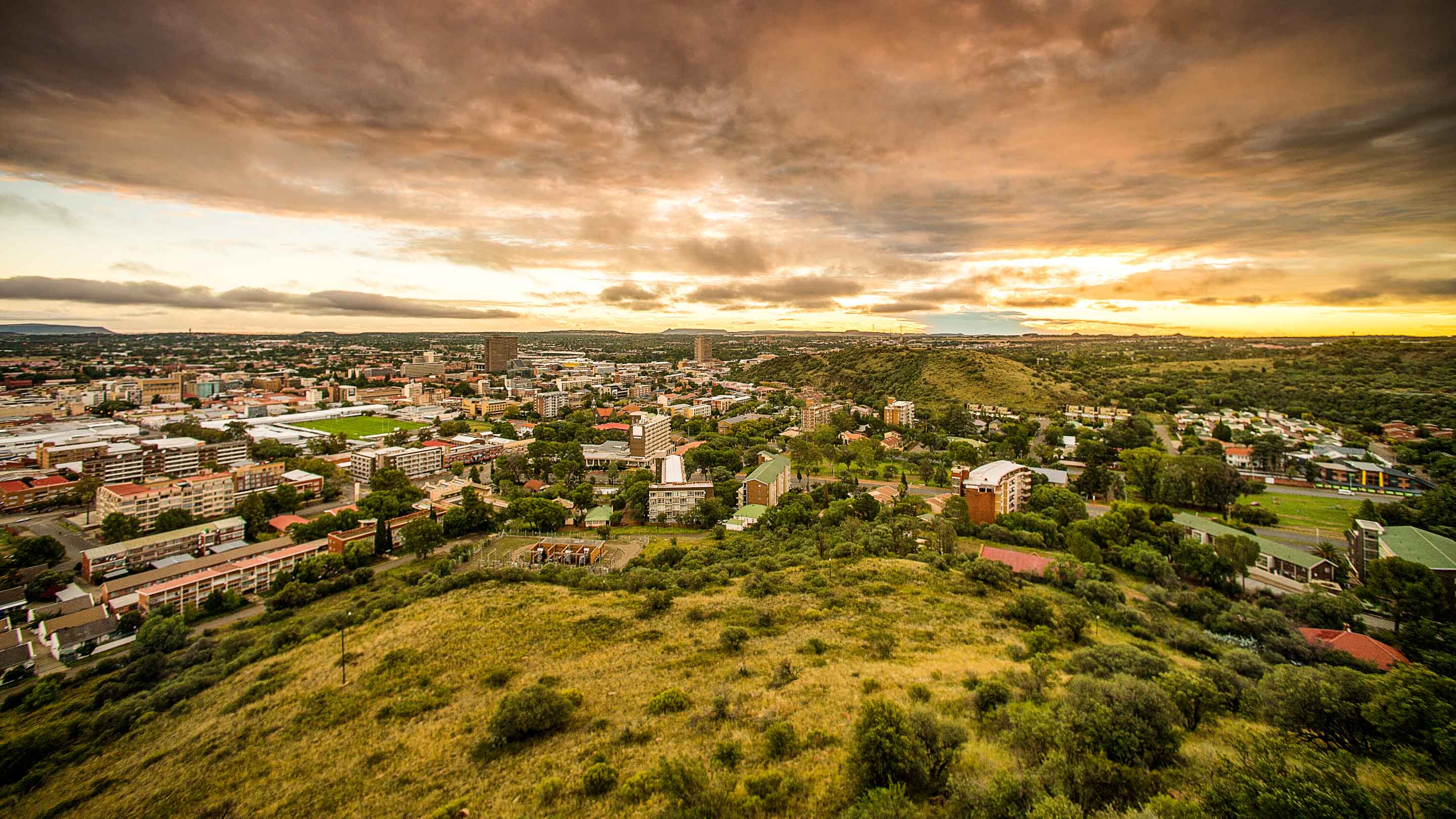
FREE STATE
The Free State, a province of wide horizons and blue skies, farmland, mountains, goldfields and widely dispersed towns – lies in the heart of South Africa. Between the Vaal River in the north and the Orange River in the south, this immense rolling prairie stretches as far as the eye can see. Mining, particularly gold, is the biggest employer, followed by manufacturing.The Free State also produces high-quality diamonds from its kimberlite pipes and fissures, and the country’s largest deposit of bentonite is found in the Koppies district. The National Development Plan has intensified the mining potential that still exists in the goldfields region of Matjhabeng in the Lejweleputswa District as a job intervention zone. The capital, Bloemfontein, houses the Supreme Court of Appeal, a leading university and some top schools. Important towns include Welkom, Sasolburg, Odendaalsrus, Kroonstad, Parys, Phuthaditjhaba, Bethlehem. The charming village of Clarens situated in the rolling foothills of the Maluti Mountains. Some of South Africa’s most valued San rock art can be found in the Free State.Other key tourist attractions in the province include the majestic Golden Gate National Park, the annual air show in Bethlehem, the Cherry Festival in Ficksburg, and the Fauresmith International Endurance Ride equestrian event. The annual Mangaung African Cultural Festival, known as Macufe, is hosted in partnership with the Tourism Authority and the Performing Arts Centre of the Free State. The Vredefort Dome, 10 km in diameter, is on the United Nations’ (UN) World Heritage Site List.
PRINCIPLE LANGUAGES
SESOTHO 71,9%
AFRIKAANS 1O,9%
ISIXHOSA 5,7%
CAPITAL
BLOEMFONTEIN
POPULATION
2921169
AREA
129825
KWAZULU-NATAL
KwaZulu-Natal, one of the country’s most popular holiday destinations, is the province with the second largest population. This verdant region includes South Africa’s lush subtropical east coast. Washed by the warm Indian Ocean, it stretches from Port Edward in the south, and northwards to the Mozambique boundary.In addition to the magnificent coastline, there is the sweeping savanna in the east, and the majestic Drakensberg mountain range in the west that offers some of the country’s most awe-inspiring landscapes. A vast sweep of basalt summits and buttresses was formally granted World Heritage status in November 2000 and renamed uKhahlamba-Drakensberg Park.Visitors can enter the province through the King Shaka International Airport(link is external) at La Mercy, north of Durban or use the extensive national road network. There are also two major harbours – the port of Durban, which is one the busiest in Africa, and Richards Bay, which is an important coal-export harbour. There are several tertiary institutions of learning, including the University of KwaZulu- Natal(link is external), University of Zululand, Mangosuthu University of Technology and Durban University of Technology. KwaZulu-Natal is the only province with a monarchy specifically provided for in the Constitution of the Republic of South Africa of 1996.
PRINCIPLE LANGUAGES
ISIZULU 82,5%
ENGLISH 12,5%
AFRIKAANS 1,0%
CAPITAL
PIETMARIZBURG
POPULATION
11538325
AREA
94361 KM SQUARED
EASTERN CAPE
The Eastern Cape(link is external), lying on the south-eastern South African coast, is a region of great natural beauty, particularly the rugged cliffs, rough seas and dense green bush of the stretch known as the Wild Coast. In the Eastern Cape, various floral habitats meet. Along the coast, the northern tropical forests intermingle with the more temperate woods of the south. The province is serviced by airports situated in Gqeberha (formerly Port Elizabeth), East London, Mthatha and Bhisho.In 2021, Aspen invested R3,3 billion in their Gqeberha Plant to produce vaccines for Africa. This investment created 1 775 jobs in the province, of which52% benefitted women. Siemens also invested R80 million in a 100-bed modular hospital in Cecilia Makiwane Hospital.The Eastern Cape Parks and Tourism Agency (ECPTA) continues to capitalise on the province’s potential and attract a greater market share of domestic tourists to the Province. Some of the strategies being employed, include tracking and profiling tourists needs and their perception about the province.The top 15 iconic tourist destinations have been digitised and are available on the virtual platforms, where potential tourists could virtually tour them.The province has since renamed a number of government facilities and places after the legends who fought against apartheid:The Bhisho State House is now Lillian Diedericks House, (Bhisho), Lillian Diedericks Municipal Building.In the Nelson Mandela Metro, the Brister House has been renamed after Mama Lillian Diedericks, Port Elizabeth Airport to Dawid Stuurman Airport and East London Airport to King Phalo Airport.
PRINCIPLE LANGUAGES
ENGLISH 3,9%
AFRIKAANS 10,3%
ISIXHOSA 82,7%
CAPITAL
BHISHO
POPULATION
6676691
AREA
168966 km squared