Athabasca
Fish
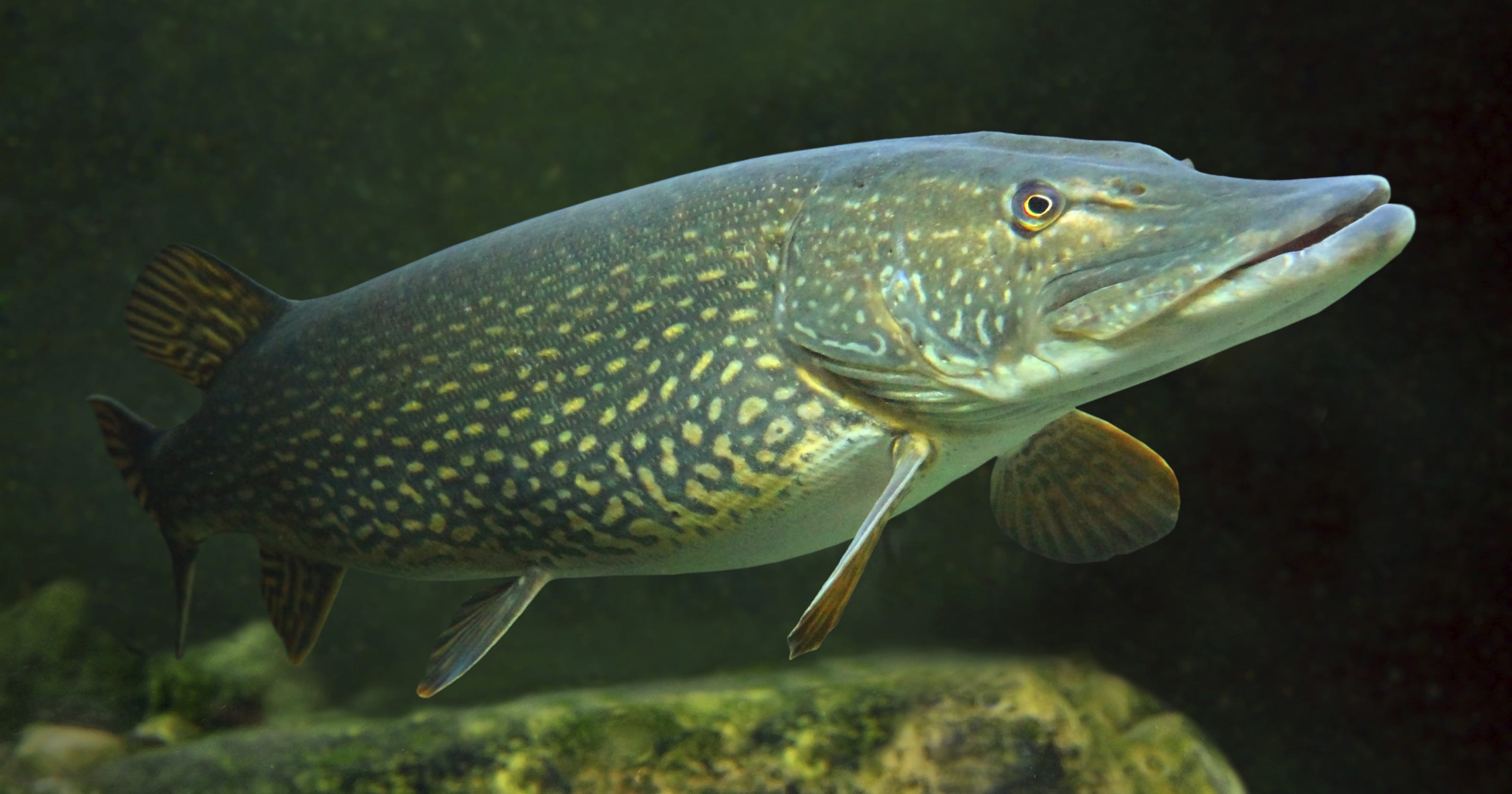
Northern Pike
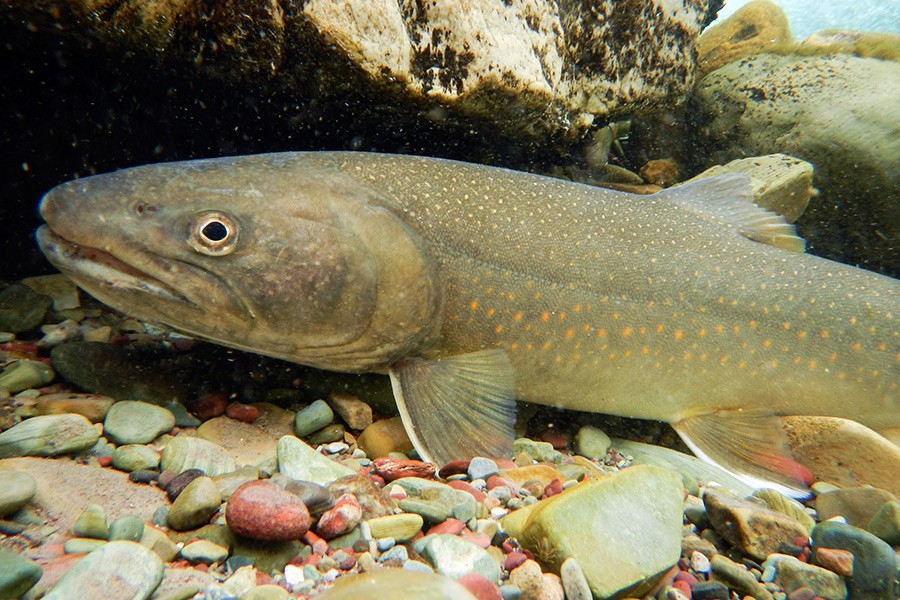
Bull Trout

Goldeye
Pollution
The water quality has decreased majorly, vegetation, and oil sand deposits. they have made efforts to engage the first nations to monitor these things as they have historically raised concerns about it.
History
Past
It was used for transportation for tribes and Europeans and also played a role in the fur trade. As well the water, fish and vegetation have supported first nations.
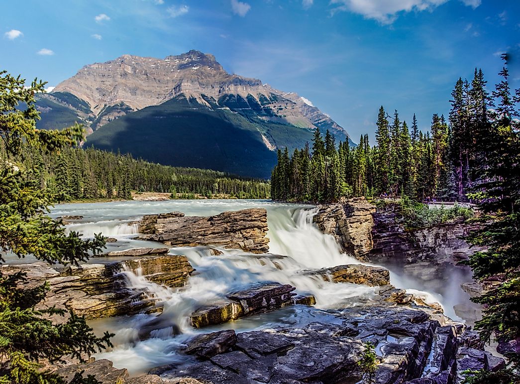
This river is very large with some parts in national parks and the river is being polluted and the water quality is becoming a lot worse. the vegetation and wildlife have also gone down.
Deepest and shallowest point
Activities

Hiking
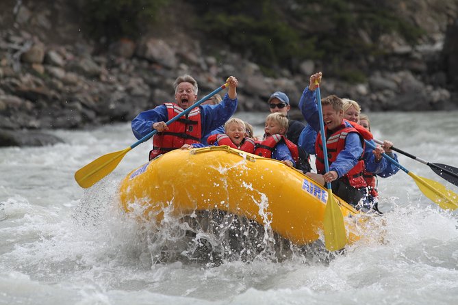
Rafting
Tour National Park
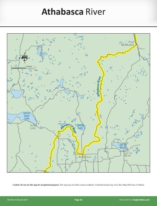
Location
Located in Alberta and Saskatchewan Canada, and some cities near it include Jasper, Brule, Entrance, Hinton, Whitecourt, Fort Assiniboine, Smith, Athabasca, Fort McMurray, and Fort McKay
Fun fact
The longest river in Alberta, and the Alberta side is a lot shallower than in Saskatchewan
Sources
“THE 5 BEST Things to Do in Athabasca - UPDATED 2023 - Must See Attractions in Athabasca, AB.” Tripadvisor, www.tripadvisor.ca/Attractions-g181807-Activities-Athabasca_Athabasca_County_Alberta.html. Accessed 10 May 2023.
“Lake Athabasca - Regional Aquatics Monitoring Program (RAMP).” Www.ramp-Alberta.org, www.ramp-alberta.org/river/geography/peace+athabasca+delta/lake+athabasca.aspx. Accessed 10 May 2023.
“Athabasca River | the Canadian Encyclopedia.” Www.thecanadianencyclopedia.ca, www.thecanadianencyclopedia.ca/en/article/athabasca-river. Accessed 8 May 2023.