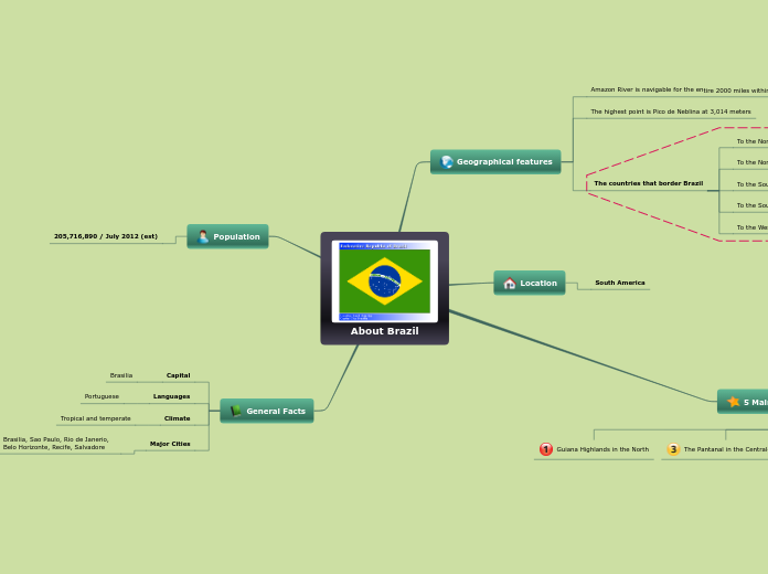
About Brazil
Geographical features
Amazon River is navigable for the entire 2000 miles within Brazil
The highest point is Pico de Neblina at 3,014 meters
The countries that border Brazil
To the North
Venezuela, Guyana, Suriname, and French Guiana
To the Northwest
Colombia
To the South
Uruguay
To the Southwest
Argentina and Paraguay
To the West
Bolivia and Peru
Location
South America
5 Main Physiographic Divisions
Guiana Highlands in the North
The Pantanal in the Central-West
Amazon lowlands
Coastal lowlands
The Brazilian highlands
Population
205,716,890 / July 2012 (est)
General Facts
Capital
Brasilia
Languages
Portuguese
Climate
Tropical and temperate
Major Cities
Brasilia, Sao Paulo, Rio de Janerio, Belo Horizonte, Recife, Salvadore
