Txantiloiak > Geografia >

World Countries Template

World Countries Template

Collect and organize information about the geographical features of a country/state/county.

Keywords: Geography, country features, learning countries, geographical features

Learn countries of the world

Learn countries of the world by completing this template with characteristics about each country. For example, think about geographical features like the length of the rivers, the height of the mountains, what are the neighbors, etc.

Also, after you choose the country you are going to analyze, respond to questions like the ones below:

On which continent is this country located?

What are the Main Physiographic Divisions of this country?

What are the languages spoken in this country?

What is the climate of this country?

What are the major cities of this country?

What is the population of this country?

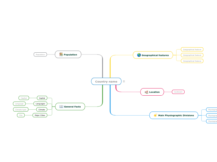
Country name

Keywords: countries, states, geography, cities, capital city, climate, physiographic divisions


Write the name of the country/state/county you are going to analyze. Then add a representative image.

General Facts

Think about this general facts about Country name.

Major Cities
City

A major city from Country name

Climate
Climate type

A climate type from Country name

Languages
Language

A language spoken in Country name

Capital

The capital of Country name

Population

What is the population of Country name?

The number of people living in Country name

Main Physiographic Divisions

Physiographic regions of the world are a way of defining Earth's landforms into distinct regions.

What are the Physiographic regions of Country name?

Psysiographic Division

Location

What is the continent where Country name is located?

Continent

Geographical features

Add geographical features of Country name. They can be related to the length of the rivers, the height of the mountains, what are the neighbours etc.
Geographical feature

Add a geographical feature. It can be related to the length of the rivers, the height of the mountains, what are the neighbours etc.
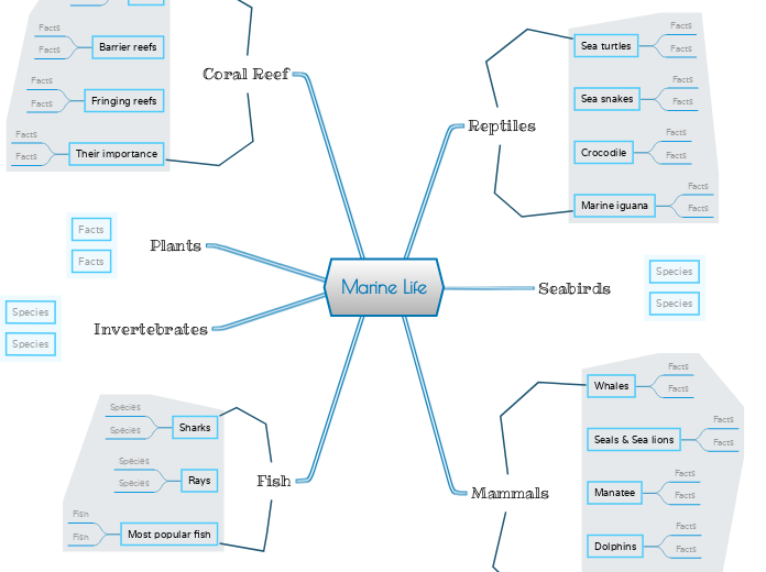
World Countries Template

Zergatik erabili Mindomo buru-mapa txantiloia?

Buru-mapenek ideiak egiten laguntzen dute, kontzeptuen arteko harremanak ezartzen, ideiak antolatzen eta sortzen.

Hala ere, buru-mapen txantiloiak hasteko modu errazagoa eskaintzen dute, irakasgai zehatz bati buruzko informazioa duten markoak baitira jarraibide orientatzaileak. Funtsean, buru-mapen txantiloiak irakasgai zehatz baten elementu guztiak batzen dituen egitura bermatzen du eta zure buru-mapa pertsonalerako abiapuntu gisa balio du. Gai jakin bati buruzko mapa mentala sortzeko irtenbide praktikoa emateko baliabideak dira, bai negozioetarako, bai hezkuntzarako.

Mindomok esfortzurik gabe funtzionatzeko eta pentsatzeko aukera ematen duten buru-mapen txantiloi adimendunak eskaintzen dizkizu.

Txantiloi batek hainbat funtzionalitate ditu:

Gai deskribatzaileak

Hondoko testua duten gaiak

Adar lehenetsia

Txantiloiaren datuak kentzea

Mindomoren negozio- edo hezkuntza-kontuetako buru-mapen txantiloietatik aukera dezakezu, edo zure buru-mapa txantiloiak sor ditzakezu hutsetik. Edozein buru-mapa adimen-mapa txantiloi-mapa bihur daiteke bere gaietako bati gida-ohar gehiago gehituz.