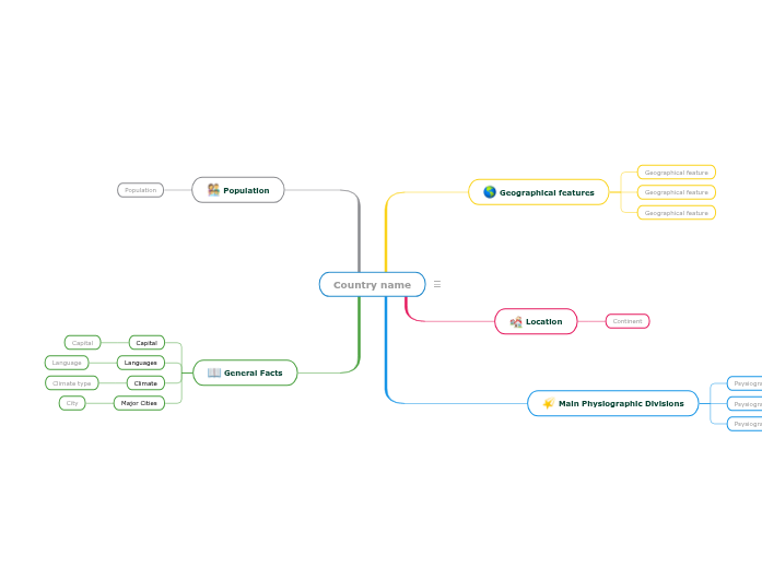
Learn countries of the world by completing this template with characteristics about each country. For example, think about geographical features like the length of the rivers, the height of the mountains, what are the neighbors, etc. Also, after you choose the country you are going to analyze, respond to questions like the ones below: On which continent is this country located? What are the Main Physiographic Divisions of this country? What are the languages spoken in this country? What is the climate of this country? What are the major cities of this country? What is the population of this country? Keywords: countries, states, geography, cities, capital city, climate, physiographic divisions Write the name of the country/state/county you are going to analyze. Then add a representative image. Think about this general facts about Country name. A major city from Country name A climate type from Country name A language spoken in Country name The capital of Country name What is the population of Country name? The number of people living in Country name Physiographic regions of the world are a way of defining Earth's landforms into distinct regions. What is the continent where Country name is located? Add geographical features of Country name. They can be related to the length of the rivers, the height of the mountains, what are the neighbours etc. Add a geographical feature. It can be related to the length of the rivers, the height of the mountains, what are the neighbours etc. Mapy myśli pomagają w burzy mózgów, nawiązywaniu relacji między pojęciami, organizowaniu i generowaniu pomysłów. Jednak szablony map myśli oferują łatwiejszy sposób na rozpoczęcie, ponieważ są to ramy, które zawierają informacje na określony temat z instrukcjami przewodnimi. W istocie, szablony map myśli zapewniają strukturę, która łączy wszystkie elementy określonego tematu i służy jako punkt wyjścia dla Twojej osobistej mapy myśli. Są zasobem, który dostarcza praktycznego rozwiązania do tworzenia mapy myśli na określony temat, zarówno dla biznesu, jak i edukacji. Mindomo oferuje inteligentne szablony map myśli, które pozwalają funkcjonować i myśleć bez wysiłku. Możesz wybierać spośród różnych szablonów map myśli z kont biznesowych lub edukacyjnych Mindomo, lub możesz tworzyć własne szablony map myśli od podstaw. Każda mapa myśli może zostać przekształcona w mapę szablonu mapy myśli poprzez dodanie dalszych notatek przewodnich do jednego z jej tematów.Learn countries of the world
Country name
General Facts
Major Cities
City
Climate
Climate type
Languages
Language
Capital
Population
Main Physiographic Divisions
What are the Physiographic regions of Country name?Psysiographic Division
Location
Continent
Geographical features
Geographical feature
Dlaczego warto używać szablonów map myśli Mindomo?
Szablon ma różne funkcjonalności: